- TOP
-
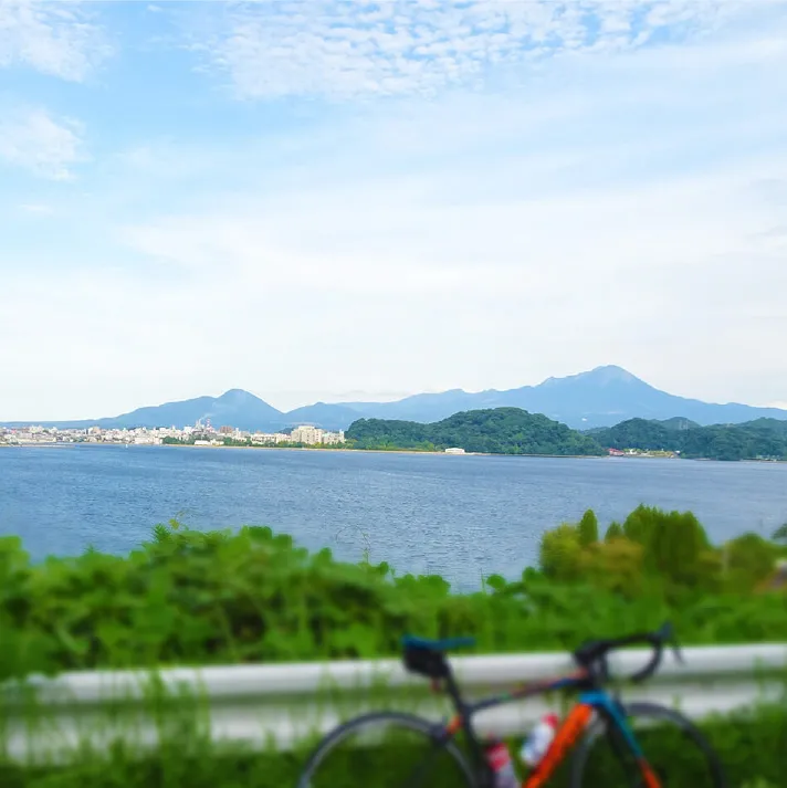
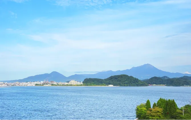
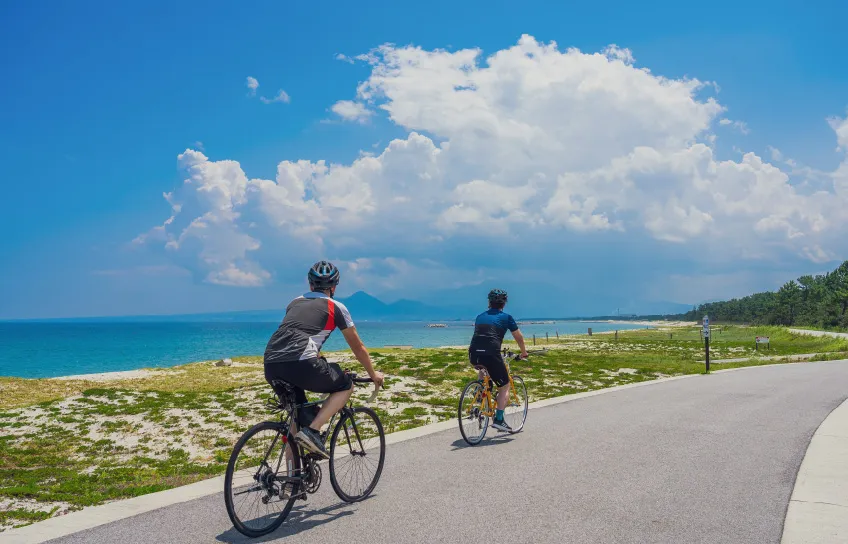
Lake Nakaumi
-
-
Lake NakaumiCycling Route
Intermediate-
- Distance
- 72.6km
-
- Elevation
gain - 485m
- Elevation
- START

- GOAL
Yonago Kitaro Airport
Course data QR codes
-

RIDE WITH GPS
-

Google Map
Course data
-
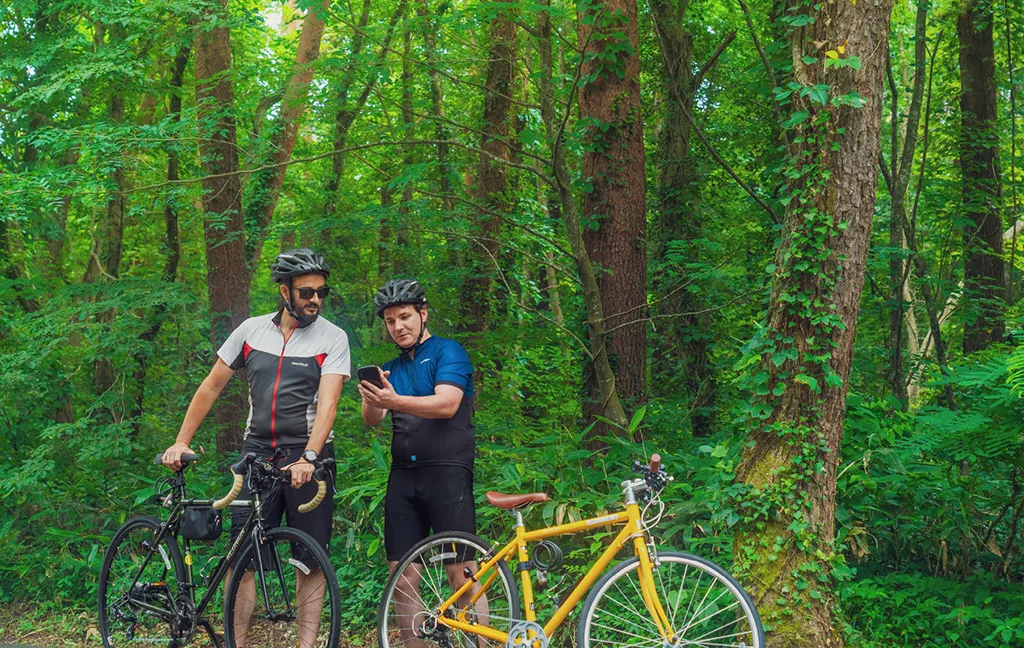
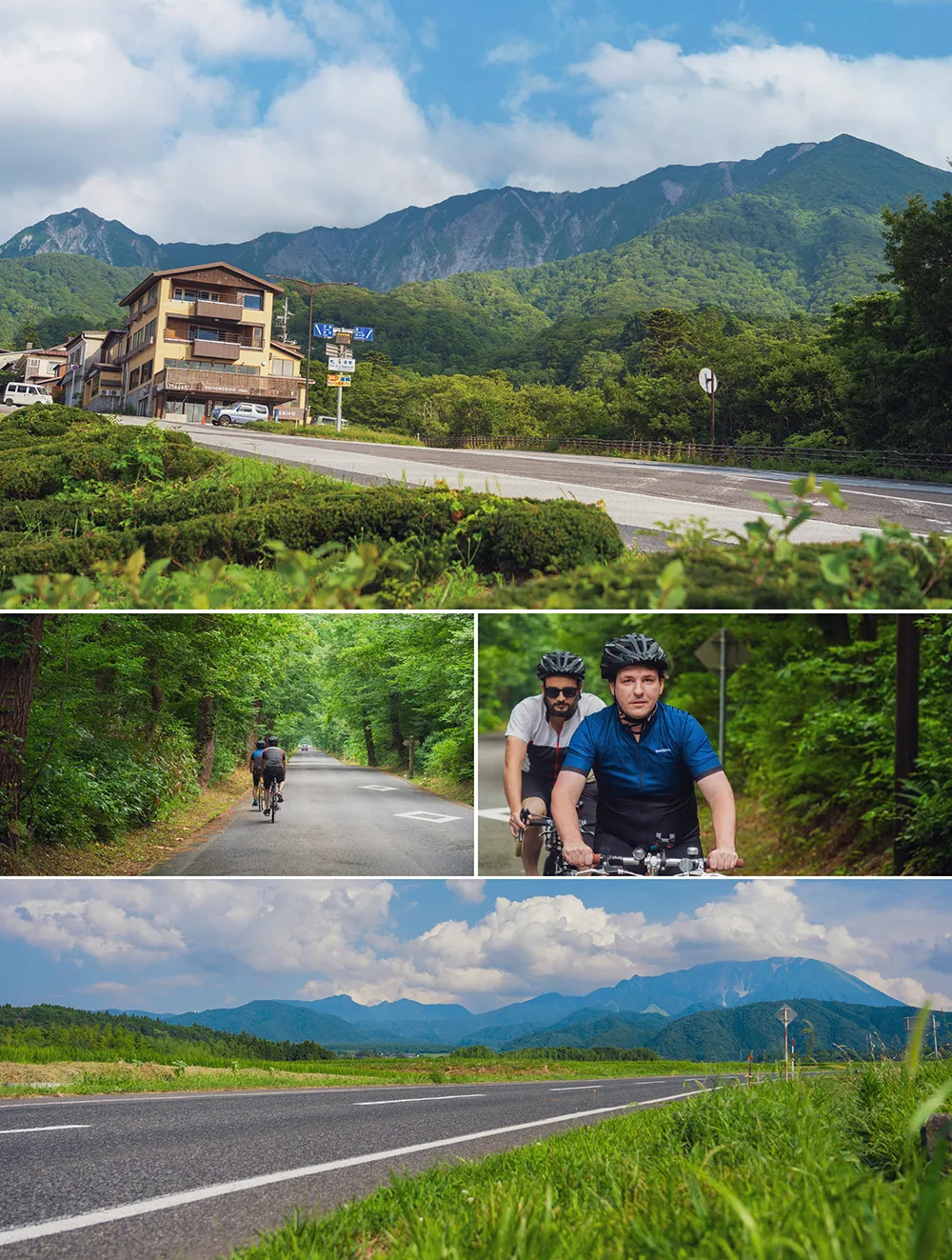
A route to one of the steepest passes in the Chugoku region
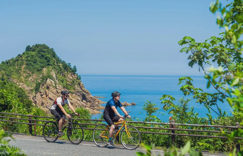
This cycling course goes all the way around Lake Nakaumi, which is designated as a Ramsar site for its international importance as a wetland site and a waterfowl habitat. Along the route, there are the famous Eshima Ohashi Bridge, nicknamed the “Rollercoaster Bridge,” and Daikonshima Island, known for the largest production of peonies in Japan, in addition to beautiful lakeside views.
Map of Facilities along the Route
Sightseeing Spots
-
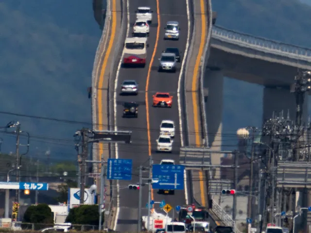 1
1Rollercoaster Bridge
A bridge linking Matsue City, Shimane Prefecture and Sakaiminato City, Tottori Prefecture. Nicknamed “rollercoaster bridge” due to its steep incline.
-
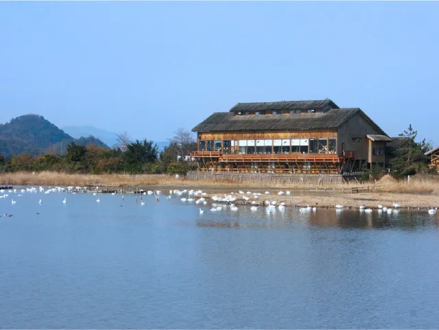 2
2Yonago Waterbirds Sanctuary
Here you can observe hundreds of waterfowls frolicking in Lake Nakaumi, which is designated as a Ramsar site.
-
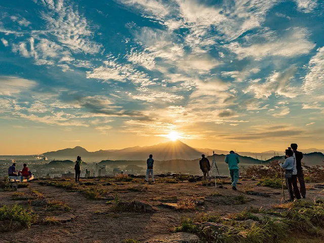 3
3Yonago Castle
One of the most famous castle ruins in the San’in region. This place offers a magnificent view of the sun rising from behind the summit of Mt. Daisen, known as “Diamond Daisen,” that can be seen twice a year.
Other Routes
-
-
 East-West
Tottori UminamiRoad
- Intermediate
-
-
- Distance
- 152 km
-
- Elevation gain
- 1,086 m
-
-
 Western Area
YumigahamaCycling Course
- Elementary
-
-
- Distance
- 15.8 km
-
- Elevation gain
- 64 m
-
-
 Western Area
Sea-to-SummitKaike/Daisen Route
- Intermediate
-
-
- Distance
- 48 km
-
- Elevation gain
- 993 m
-
-
 Eastern Area
Tottori-OkayamaConnection Cycling Route
- Intermediate
-
-
- Distance
- 46.6 km
-
- Elevation gain
- 1,167 m
-
-
 Western Area
Lake NakaumiCycling Route
- Intermediate
-
-
- Distance
- 72.6 km
-
- Elevation gain
- 485 m
-
-