- TOP
-
Sea-to-Summit
-
-
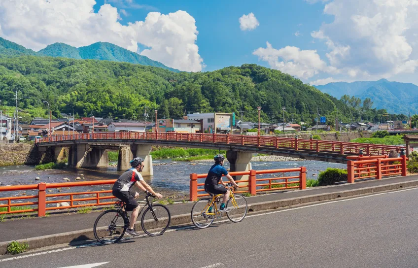
Sea-to-SummitKaike/Daisen Route
Intermediate-
- Distance
- 48km
-
- Elevation
gain - 993m
- Elevation
- START

- GOAL
JR Sakaiminato Station
or Daisen parking lotCourse data QR codes
-

RIDE WITH GPS
-

Google Map
Course data
-
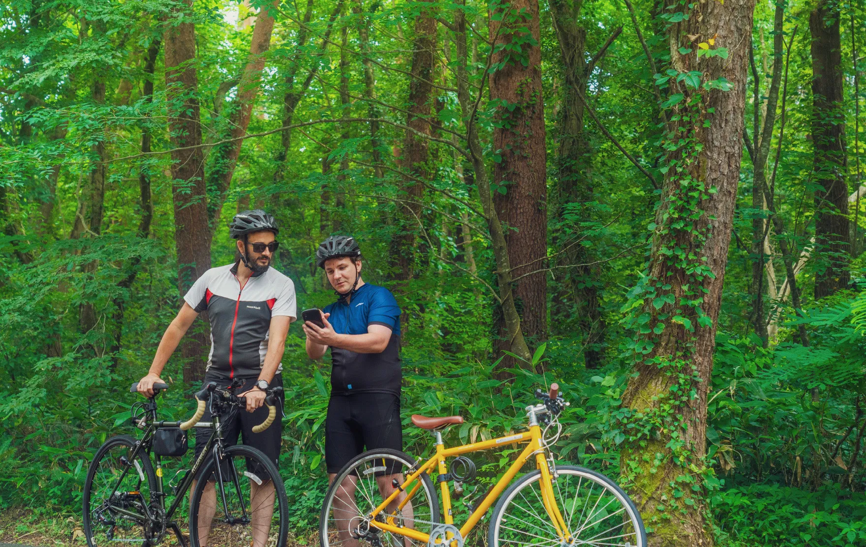
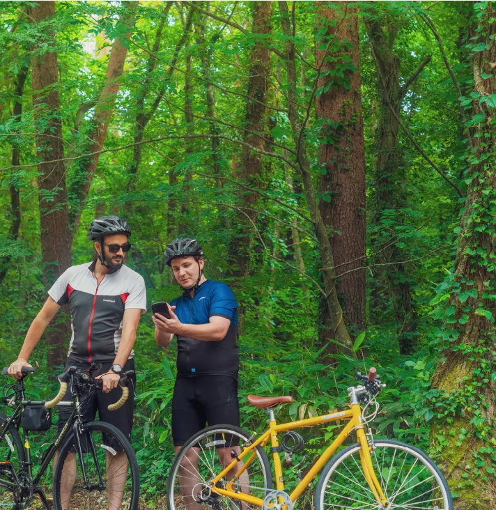
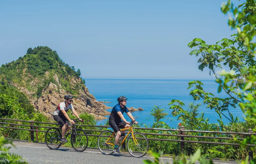
From the Sea of Japan to Mt. Daisen, the highest peak in the Chugoku region
This cycling route starts from Sakaiminato and takes you all the way up Mt. Daisen, the highest peak in the Chugoku region. It lets you enjoy cycling by the sea, through the countryside, and in a mountain, all at once. It comes packed with the various charms of the western part of Tottori Prefecture, including the delicious seafoods and “yokai” creatures of Sakaiminato, Kaike Onsen, which is one of the premier hot spring resorts of the San’in region, the rich and beautiful nature of Mt. Daisen, and historical sites like the Daisenji Temple.
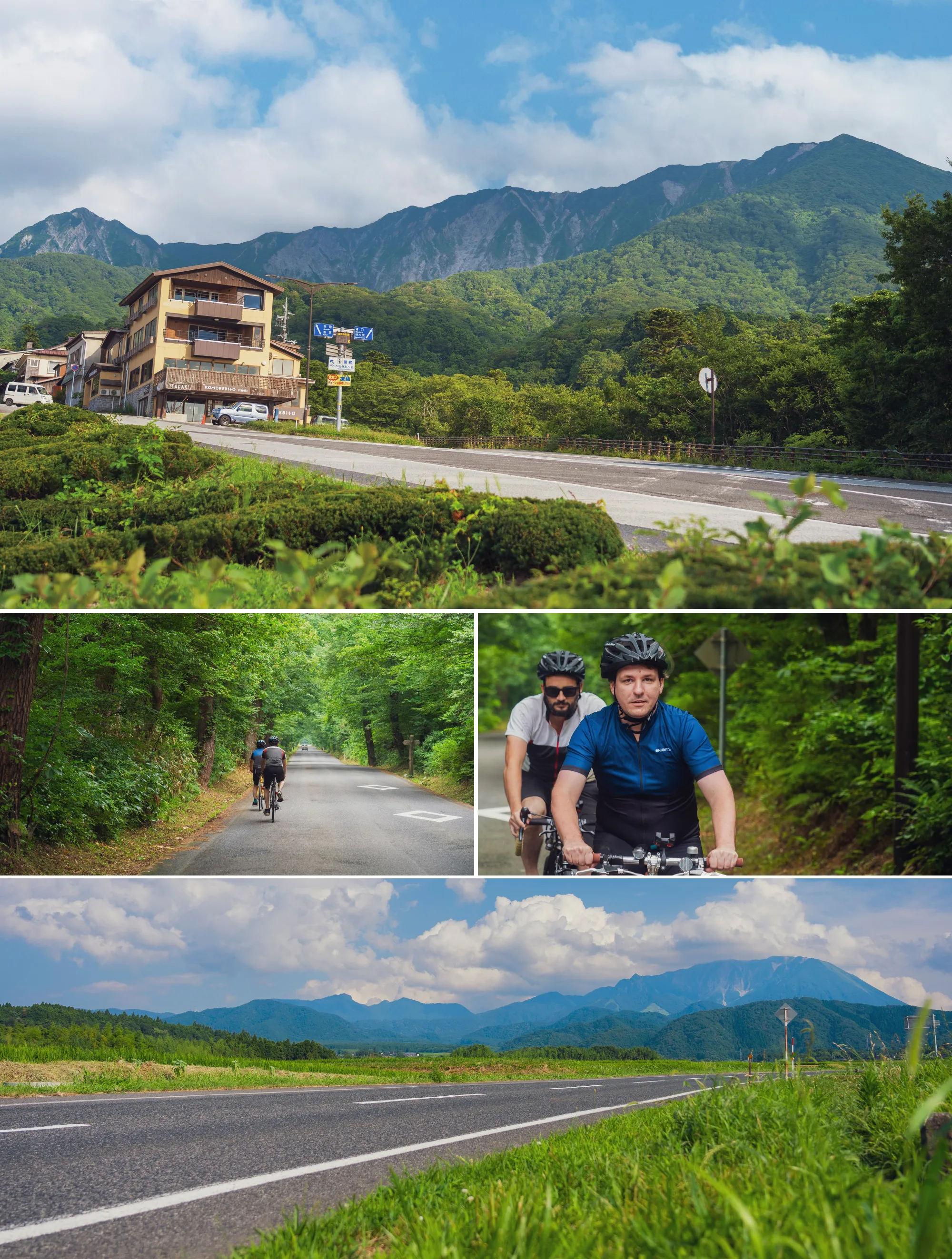
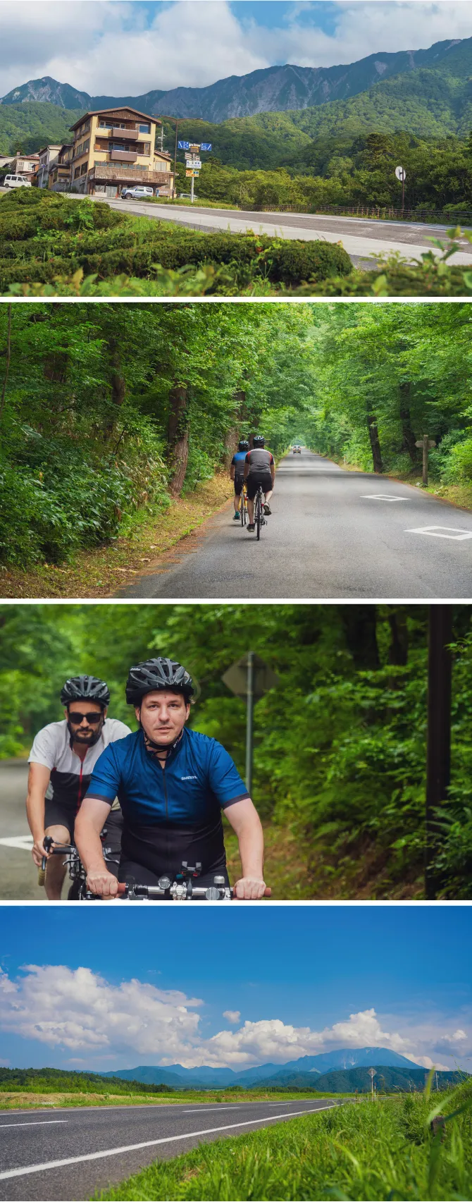
Map of Facilities along the Route
Sightseeing Spots
-
 1
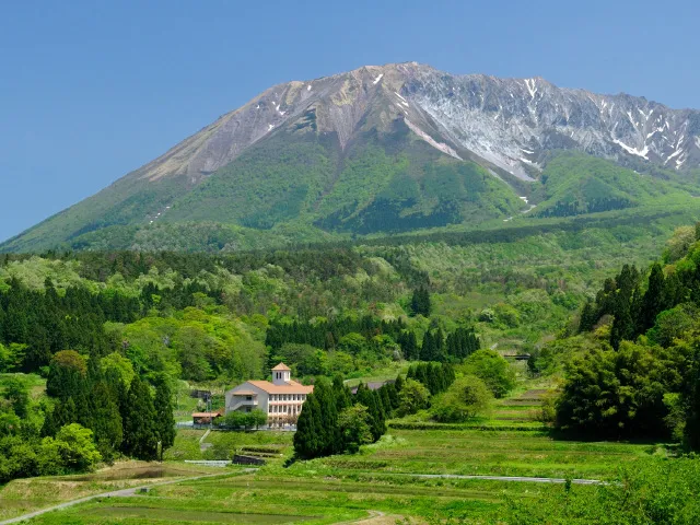
1Mt. Daisen
The highest peak in the Chugoku region. It offers stunning natural views that change throughout the four seasons.
-
 2
2Daisenji Temple
A large temple that flourished as a place of ascetic practices for Shugendo, which practices mountain worship, more than 1,300 years ago during the Nara period.
-
 3
3Wagasa Denshokan
Here you can watch the delicate processes of crafting wagasa (traditional Japanese umbrella), and also learn about the traditional wagasa culture passed down to this day in Yodoe.
Other Routes
-
-
 East-West
Tottori UminamiRoad
- Intermediate
-
-
- Distance
- 152 km
-
- Elevation gain
- 1,086 m
-
-
 Western Area
YumigahamaCycling Course
- Elementary
-
-
- Distance
- 15.8 km
-
- Elevation gain
- 64 m
-
-
 Western Area
Sea-to-SummitKaike/Daisen Route
- Intermediate
-
-
- Distance
- 48 km
-
- Elevation gain
- 993 m
-
-
 Eastern Area
Tottori-OkayamaConnection Cycling Route
- Intermediate
-
-
- Distance
- 46.6 km
-
- Elevation gain
- 1,167 m
-
-
 Western Area
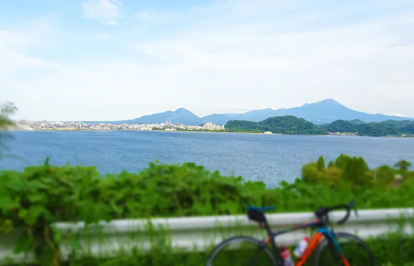
Lake NakaumiCycling Route
- Intermediate
-
-
- Distance
- 72.6 km
-
- Elevation gain
- 485 m
-
-